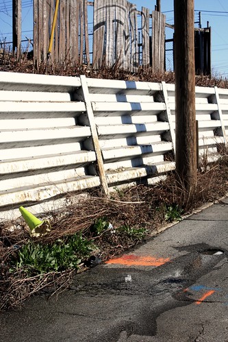
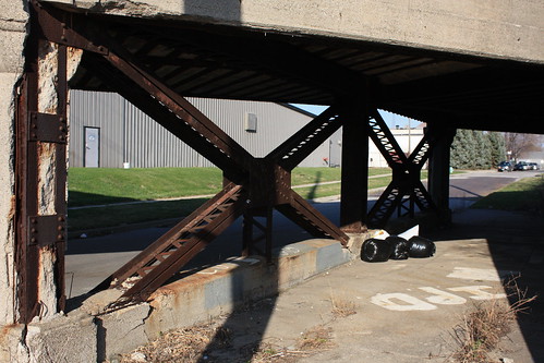
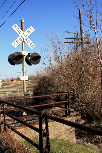
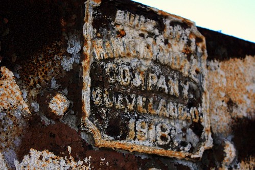
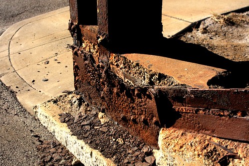
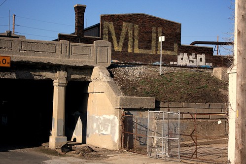
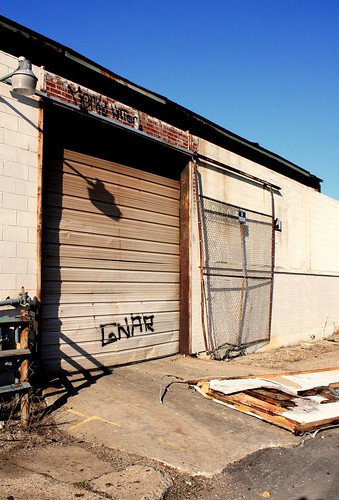
Formerly a working class Irish neighborhood on the near east side of Indianapolis, Irish hill is now no more than a ghost town where colonies of homeless people live under viaducts, much of it has returned to nature, or is populated with abandoned industrial buildings. Being so close to the Eli Lilly complex, Fountain Square, and Fletcher Place, I wonder if this area has a new urban future.
Showing posts with label 'Irish Hill' (IND). Show all posts
Thursday, September 23, 2010
Sunday, June 20, 2010
True Grit...Scenes From Irish Hill Part II
More photos from around the corner of Maryland and Davidson in the Irish Hill of Indianapolis...
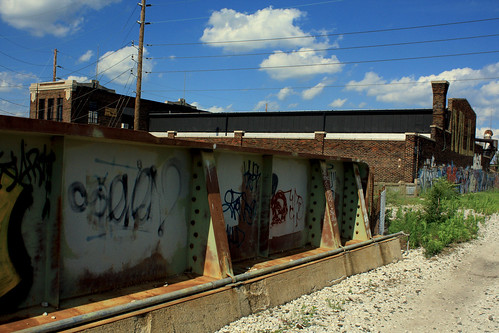
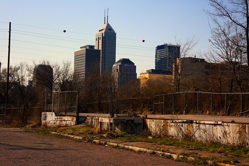
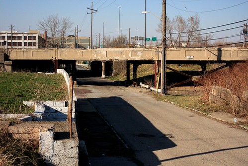
Taken from Davidson Street; I was originally photographing the Pennsylvania Railroad viaduct in the area, and discovered this perspective of One Indiana Square.

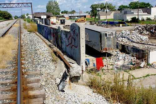
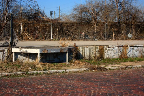
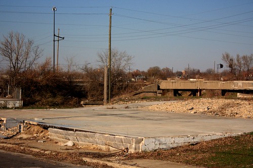
Photographed this from a somewhat elevated vacant slab; dozens of homeless people living under these viaducts and bridges were evicted by the city earlier this year...
Taken from Davidson Street; I was originally photographing the Pennsylvania Railroad viaduct in the area, and discovered this perspective of One Indiana Square.
Photographed this from a somewhat elevated vacant slab; dozens of homeless people living under these viaducts and bridges were evicted by the city earlier this year...
Friday, June 18, 2010
True Grit...Scenes From Irish Hill
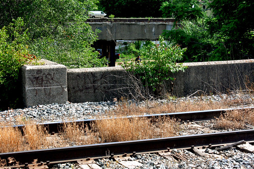
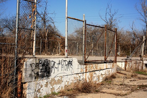
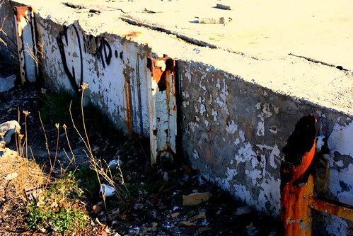
Both of these photos were taken at the corner of Davidson and Maryland in the Indianapolis neighborhood of Irish Hill. This area, for the most part, lies abandoned, with only the streets and building foundations remain. The Viaducts and underpasses of Irish Hill used to play a role as a makeshift homeless community until they were evicted earlier this year.


These photos contain fine detail and are best if viewed large...
Wednesday, December 16, 2009
The Survivors On Irish Hill
Friday, July 10, 2009
On South Davidson Street
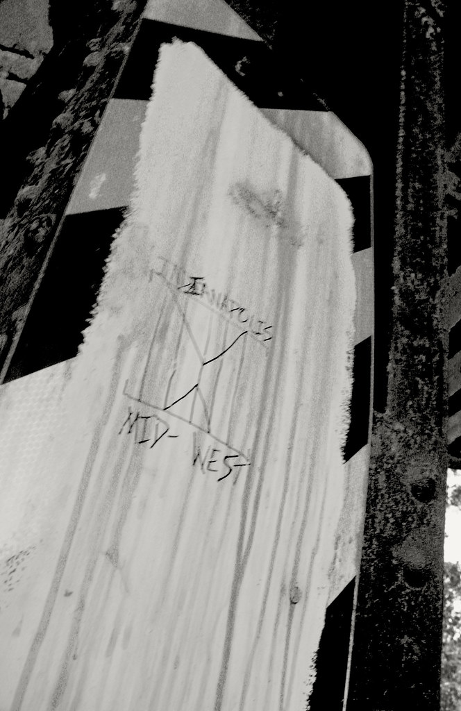
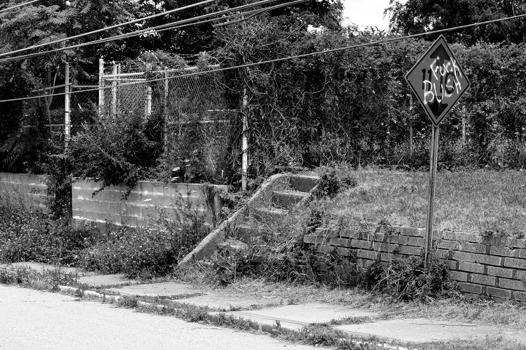
These were taken on Davidson Street, just south of Washington Street. This area is mostly abandoned, but the viaduct running over Pogue's Run provides a makeshift community for some the homeless people in the area. This area is usually busy with all kinds of people, but for some reason, I only saw one person around on this day...
*All the images here may be enlarged by clicking on them...
**Some of the images here contain some profanity...

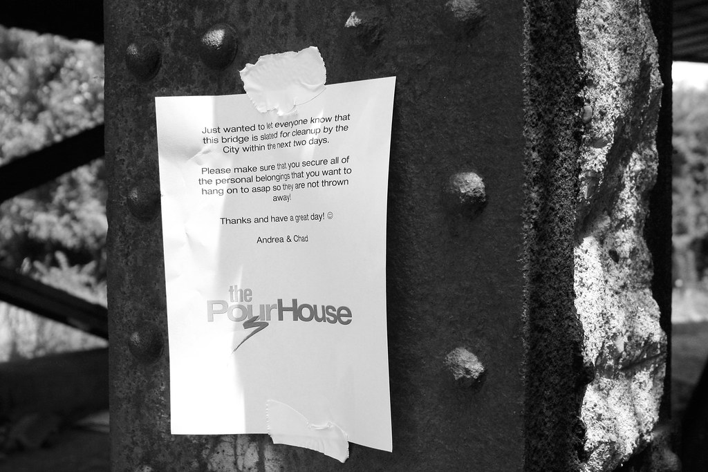
The Pour House is an advocacy group helping homeless individuals around Indianapolis with finding jobs, practical needs, and other support.


*All the images here may be enlarged by clicking on them...
**Some of the images here contain some profanity...
The Pour House is an advocacy group helping homeless individuals around Indianapolis with finding jobs, practical needs, and other support.
Monday, July 6, 2009
Thursday, June 18, 2009
The Forgotten....Revisited
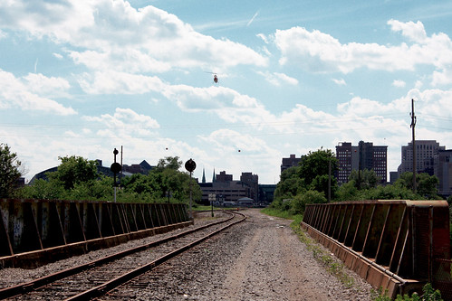
A few months ago I featured a post that covered an area call Irish Hill. An abandoned area that has left much of its brick street preserved is separated from the city by I-65/70 to the west and the Pennsylvania Railroad Viaduct (the very same which the sewer sequestered Pogue's Run flows under) to the north. Where the last post explores the area at grade, this post covers it from the elevated rail line...
Oops, I won't tell if you don't...

The line splits here, one heads east, and the other takes a southeasterly route...

A news helicopter landing at the nearby heliport...

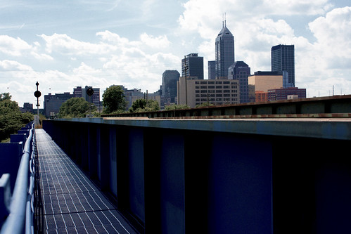
This is what the Indianapolis skyline looks like from one of those lovely blue overpasses...

Oops, I won't tell if you don't...
The line splits here, one heads east, and the other takes a southeasterly route...
A news helicopter landing at the nearby heliport...
This is what the Indianapolis skyline looks like from one of those lovely blue overpasses...
Monday, March 23, 2009
The Forgotten
I've featured many abandoned and forgotten areas of Indianapolis in this blog, but this area probably takes the proverbial cake! This area is located between College Avenue and Shelby Street, just south of Washington Street. Many of the streets located in this area were cut off or diverted to make room of I-65/70 and probably eventually lead to this area's downfall. Most of the area has been completely razed; only concrete slabs and foundations remain along the old brick streets.
I wonder how long this water main has been leaking into the nearby storm drain? On College and Maryland Street.
Railroad Underpass on College Avenue, just south of Washington Street.
Along Maryland Street, between College Avenue and Davidson Street.
Subscribe to:
Posts (Atom)