
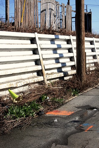
I wonder how long this water main has been leaking into the nearby storm drain? On College and Maryland Street.
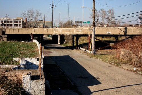
Railroad Underpass on College Avenue, just south of Washington Street.

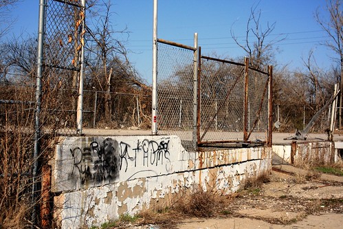
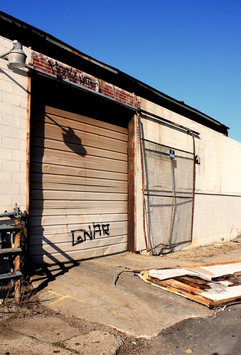
Along Maryland Street, between College Avenue and Davidson Street.
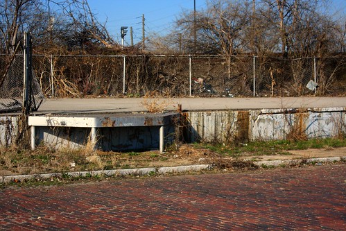
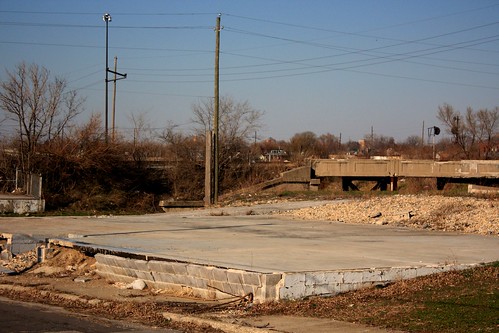

Maryland Street is dead-ended here, and Davidson makes its way south to Washington Street.

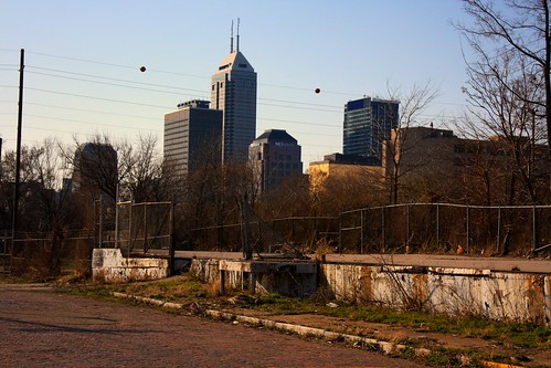
Looking north on Davidson, toward Washington Street.
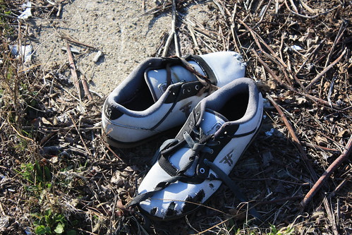
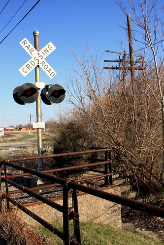
Ditched!
On the east side of I-65/70; taken close to Bates Ave.
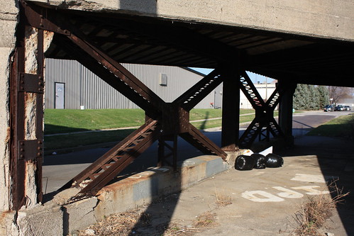
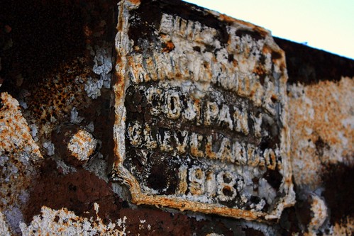
More rusty relics; on Pine Street.
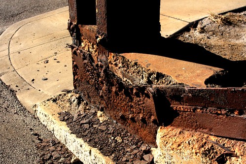
Near Bates and Pine Street.
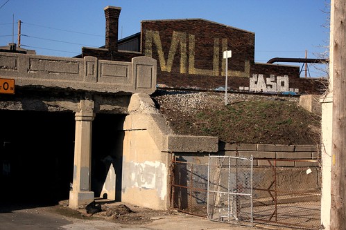

Back on Bates Ave.
Now on Shelby Street.

8 comments:
This might be your best series yet.
I love this area and all the (still smooth!) brick road surfaces. I meant to get over there to take pictures of Pine before the state ripped it all up for the new Washington off ramp. I haven't been over there in a while -- is there anything left of Pine at this point?
I've always wanted to take pictures of that abandoned RR bridge just south of Bates but never had the balls to go out there.
Urbanophile: Thanks! It was one of the most interesting places I've done; almost felt like I was exploring ruins...
CorrND: Pine Street now stops at Daly Street, right at that abandoned railroad bridge your talking about. The area is kind of eerie and quiet, and the only people I encountered were five or six people hanging out under the Davidson Street bridge. I couldn't tell much about the people, but five ominous looking people and dark tunnels are the things that movies are made of, so I chose to head toward Bates instead of confronting them.
Picture #9 is actually looking north on Davidson St. You can tell that from the shadows. A couple years ago a friend and I were riding our bicycles, exploring the city as you do. We were rolling down this very street. As we entered the relative darkness of the bridge I was startled to find thirty or forty homeless men had parked themselves on the sidewalks under the bridge. We had stumbled onto Homeless Central. We kept riding and didn't linger. Of course you got the feeling you were in the wrong place, but nobody seemed to pay any attention to us in the second and a half it took to ride under the bridge. Those buildings you see in the background are on the other side of Washington St. They are human warehouses, part of the jail system where people are kept. I suppose some of the guys who are released from jail with nowhere to go park themselves under this bridge.
You are correct on #9, and it has been corrected...Thanks :-). I figured those people under that bridge may have been homeless; since I was on foot, paranoia prevailed and I chose not to go under it...
I believe this used to be a neighborhood known as Irish Hill. There isn't much information about the area, sadly. Amazing how something so close to downtown is so neglected.
Kevin, as a native southeast sider, I can definitely testify to what the link you provided says about it being the "neglected stepchild". So many areas that are so close to Fountain Square still continue to decline. I would love to come across pictures taken of the place when it was still standing.
For the last few years I've wondered if development would ever move into this area. I've walked these streets a few times (even ran along the railroad tracks over the interstate once) and I agree it does feel like ruins. I guess it is.
The city should have re-established Davidson and Pine from Bates up to at least Michigan, if not St. Claire or 10th. Irish Hill is the "worst" example, but similar to what happened to all the blocks between College and I-65/70. I think improving the street grid and making it walkable, driveable, and bikable would help each area redevelop and reconnect to each other.
This should have been part of the Market St project, but maybe a few years down the line it could be done.
Great photos!
Post a Comment